
Țaga topographic map
Interactive map
Click on the map to display elevation.
About this map
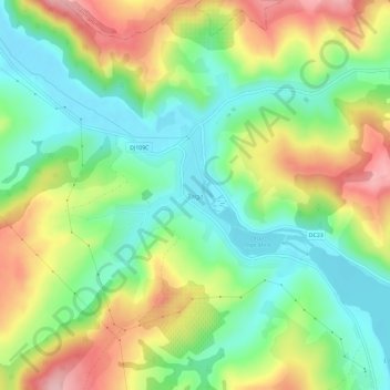
Name: Țaga topographic map, elevation, terrain.
Location: Țaga, Cluj, 407565, Rumanía (46.92336 24.03147 46.96336 24.07147)
Average elevation: 352 m
Minimum elevation: 276 m
Maximum elevation: 466 m