
Pond topographic map
Interactive map
Click on the map to display elevation.
About this map
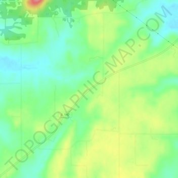
Name: Pond topographic map, elevation, terrain.
Location: Pond, Johnson County, Illinois, VS (37.42505 -88.85284 37.46505 -88.81284)
Average elevation: 149 m
Minimum elevation: 114 m
Maximum elevation: 205 m