
Stolzalpe topographic map
Interactive map
Click on the map to display elevation.
About this map
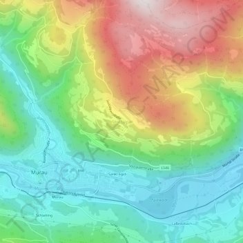
Name: Stolzalpe topographic map, elevation, terrain.
Location: Stolzalpe, Murau, Bezirk Murau, Styria, 8850, Austria (47.10064 14.16910 47.14064 14.20910)
Average elevation: 1,097 m
Minimum elevation: 771 m
Maximum elevation: 1,642 m