
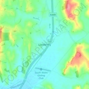
Llandenny topographic map
Interactive map
Click on the map to display elevation.
About this map
Name: Llandenny topographic map, elevation, terrain.
Location: Llandenny, Monmouthshire, Wales, NP15 1DL, United Kingdom (51.71056 -2.86750 51.75056 -2.82750)
Average elevation: 44 m
Minimum elevation: 19 m
Maximum elevation: 115 m