
Sigel topographic map
Interactive map
Click on the map to display elevation.
About this map
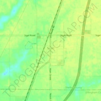
Name: Sigel topographic map, elevation, terrain.
Location: Sigel, Shelby County, Illinois, United States of America (39.22140 -88.50305 39.22954 -88.48892)
Average elevation: 193 m
Minimum elevation: 182 m
Maximum elevation: 197 m