
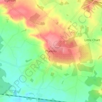
Pluckley topographic map
Interactive map
Click on the map to display elevation.
About this map
Name: Pluckley topographic map, elevation, terrain.
Location: Pluckley, Kent, South East, Engeland, TN27 0QS, VK (51.15526 0.73465 51.19526 0.77465)
Average elevation: 62 m
Minimum elevation: 26 m
Maximum elevation: 108 m