
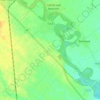
Turá topographic map
Interactive map
Click on the map to display elevation.
About this map
Name: Turá topographic map, elevation, terrain.
Average elevation: 154 m
Minimum elevation: 143 m
Maximum elevation: 165 m
Die Gemeinde befindet sich im Ostteil des slowakischen Donautieflands, am rechten Ufer des unteren Hron. Das Ortszentrum liegt auf einer Höhe von 154 m n.m. und ist 17 Kilometer von Levice entfernt.