
San Miguel topographic map
Interactive map
Click on the map to display elevation.
About this map
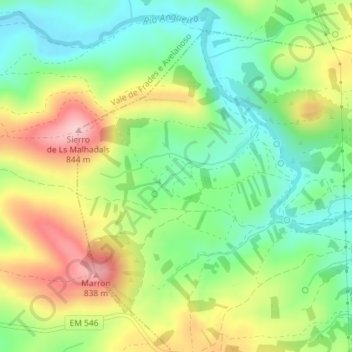
Name: San Miguel topographic map, elevation, terrain.
Location: San Miguel, Caçarelhos e Angueira, Vimioso, Bragança, Portugal (41.61228 -6.43932 41.63228 -6.41932)
Average elevation: 726 m
Minimum elevation: 647 m
Maximum elevation: 840 m