
Calke Park (National Trust) topographic map
Interactive map
Click on the map to display elevation.
About this map
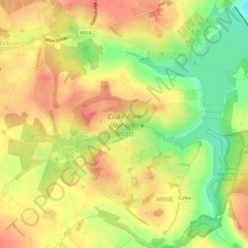
Name: Calke Park (National Trust) topographic map, elevation, terrain.
Average elevation: 98 m
Minimum elevation: 59 m
Maximum elevation: 125 m
Derbyshire trails, hiking, mountain biking, running and outdoor activities