Abu Zeid Hasan topographic map
Interactive map
Click on the map to display elevation.
About this map

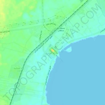
Name: Abu Zeid Hasan topographic map, elevation, terrain.
Location: Abu Zeid Hasan, Al Ismailiya, 41617, Egypt (30.38194 32.28861 30.42194 32.32861)
Average elevation: 6 m
Minimum elevation: -1 m
Maximum elevation: 25 m
Other topographic maps
Click on a map to view its topography, its elevation and its terrain.

Suez Canal
Although the alleged difference in sea levels could be problematic for construction, the idea of finding a shorter route to the east remained alive. In 1830, F. R. Chesney submitted a report to the British government that stated that there was no difference in elevation and that the Suez Canal was feasible,…
Average elevation: 106 m

Suez Canal
Despite the construction challenges that could have been the result of the alleged difference in sea levels, the idea of finding a shorter route to the east remained alive. In 1830, General Francis Chesney submitted a report to the British government that stated that there was no difference in elevation and…
Average elevation: 106 m