
Untersalen topographic map
Interactive map
Click on the map to display elevation.
About this map
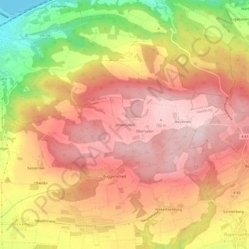
Name: Untersalen topographic map, elevation, terrain.
Location: Untersalen, Homburg, Bezirk Frauenfeld, Thurgau, 8507, Schweiz (47.63062 8.99555 47.67062 9.03555)
Average elevation: 606 m
Minimum elevation: 393 m
Maximum elevation: 729 m