
Kudus topographic map
Interactive map
Click on the map to display elevation.
About this map
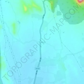
Name: Kudus topographic map, elevation, terrain.
Location: Kudus, Vada, Palghar, Maharashtra, 421312, India (19.51233 73.07994 19.55233 73.11994)
Average elevation: 49 m
Minimum elevation: 25 m
Maximum elevation: 293 m
Other topographic maps
Click on a map to view its topography, its elevation and its terrain.
Wada
India > Maharashtra > Vada
Wada, Vada, Palghar, Maharashtra, 421303, India
Average elevation: 57 m