
坡合 topographic map
Interactive map
Click on the map to display elevation.
About this map
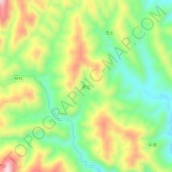
Name: 坡合 topographic map, elevation, terrain.
Location: 坡合, 百色市, 隆林各族自治县, 广西壮族自治区, 中国 (24.77050 105.20700 24.81050 105.24700)
Average elevation: 928 m
Minimum elevation: 748 m
Maximum elevation: 1,175 m