
Jalapa topographic map
Interactive map
Click on the map to display elevation.
About this map
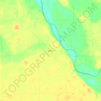
Name: Jalapa topographic map, elevation, terrain.
Location: Jalapa, Grant County, Indiana, Estados Unidos (40.60775 -85.76536 40.64775 -85.72536)
Average elevation: 247 m
Minimum elevation: 228 m
Maximum elevation: 258 m