
San Luis topographic map
Interactive map
Click on the map to display elevation.
About this map
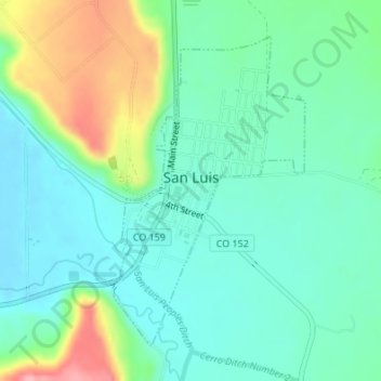
Name: San Luis topographic map, elevation, terrain.
Location: San Luis, Costilla County, Colorado, Estados Unidos (37.18929 -105.43065 37.21120 -105.41364)
Average elevation: 2,449 m
Minimum elevation: 2,414 m
Maximum elevation: 2,538 m