
Kenwood topographic map
Interactive map
Click on the map to display elevation.
About this map
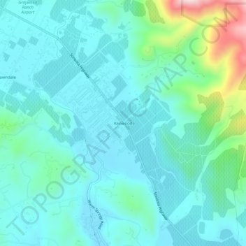
Name: Kenwood topographic map, elevation, terrain.
Location: Kenwood, Sonoma County, California, United States (38.39380 -122.56609 38.43380 -122.52609)
Average elevation: 186 m
Minimum elevation: 110 m
Maximum elevation: 529 m