
Sankt Annen topographic map
Interactive map
Click on the map to display elevation.
About this map
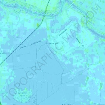
Name: Sankt Annen topographic map, elevation, terrain.
Location: Sankt Annen, Eider, Dithmarschen, Sleeswijk-Holstein, Duitsland (54.31874 9.04409 54.37032 9.12232)
Average elevation: 0 m
Minimum elevation: -3 m
Maximum elevation: 8 m