
Yenda topographic map
Interactive map
Click on the map to display elevation.
About this map
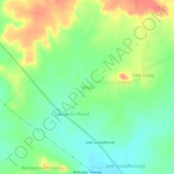
Name: Yenda topographic map, elevation, terrain.
Location: Yenda, Utnur mandal, Adilabad, Telangana, India (19.41965 78.71287 19.45965 78.75287)
Average elevation: 409 m
Minimum elevation: 386 m
Maximum elevation: 439 m