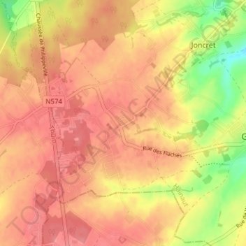
Les Flaches topographic map
Interactive map
Click on the map to display elevation.
About this map
Name: Les Flaches topographic map, elevation, terrain.
Average elevation: 217 m
Minimum elevation: 168 m
Maximum elevation: 240 m

Click on the map to display elevation.
Name: Les Flaches topographic map, elevation, terrain.
Average elevation: 217 m
Minimum elevation: 168 m
Maximum elevation: 240 m