
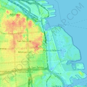
Autonomous City of Buenos Aires topographic map
Interactive map
Click on the map to display elevation.
About this map
Name: Autonomous City of Buenos Aires topographic map, elevation, terrain.
Location: Autonomous City of Buenos Aires, Comuna 1, Argentina (-34.63411 -58.39292 -34.57805 -58.33975)
Average elevation: 14 m
Minimum elevation: -4 m
Maximum elevation: 48 m