
Avis Dam Recreational Area topographic map
Interactive map
Click on the map to display elevation.
About this map
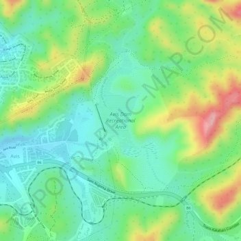
Name: Avis Dam Recreational Area topographic map, elevation, terrain.
Location: Avis Dam Recreational Area, Windhoek, Khomas, Namibia (-22.58224 17.12449 -22.56653 17.14190)
Average elevation: 1,741 m
Minimum elevation: 1,688 m
Maximum elevation: 1,830 m