
Yellow Mountain topographic map
Interactive map
Click on the map to display elevation.
About this map
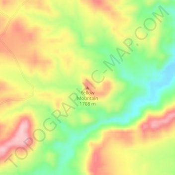
Name: Yellow Mountain topographic map, elevation, terrain.
Location: Yellow Mountain, Sierra County, New Mexico, United States (33.19780 -107.51147 33.19790 -107.51137)
Average elevation: 1,647 m
Minimum elevation: 1,554 m
Maximum elevation: 1,737 m
Other topographic maps
Click on a map to view its topography, its elevation and its terrain.