
Kikunda topographic map
Interactive map
Click on the map to display elevation.
About this map
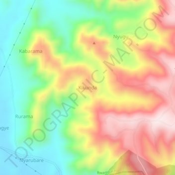
Name: Kikunda topographic map, elevation, terrain.
Location: Kikunda, Rwampara, Western Region, Uganda (-0.82699 30.51632 -0.78699 30.55632)
Average elevation: 1,588 m
Minimum elevation: 1,361 m
Maximum elevation: 1,854 m