Geolocate

Kinale topographic map

Click on the map to display elevation.

About this map

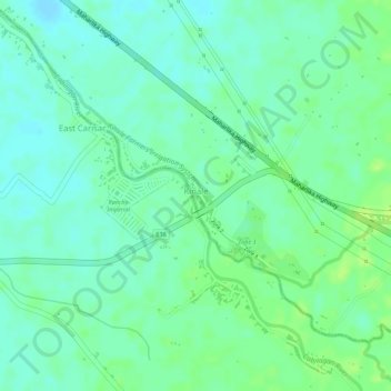
Name: Kinale topographic map, elevation, terrain.

Location: Kinale, Polangui, Albay, Bicol Region, 4506, Philippines (13.28775 123.45684 13.29990 123.47540)

Average elevation: 20 m

Minimum elevation: 13 m

Maximum elevation: 27 m

Other topographic maps

Click on a map to view its topography, its elevation and its terrain.

Napo

Philippines > Albay > Polangui

Average elevation: 98 m

Gear up for your next adventure:

🎒Backpack Rain Covers - Universal waterproof covers to protect your gear from downpours
Lightweight Tents - Compact tents for backpacking and trekking
🔦Head Torches - Hands-free lighting for hiking and camping
🗺️Scratch-off Peak Maps - Track your progress climbing Munros or Wainwrights
🛰️Satellite Messengers - Emergency communication devices for areas without mobile signal

As an Amazon Associate, this site earns from qualifying purchases at no extra cost to you.