
Lelei topographic map
Interactive map
Click on the map to display elevation.
About this map
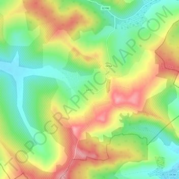
Name: Lelei topographic map, elevation, terrain.
Location: Lelei, Hodod, Satu Mare, 447157, Roemenië (47.35586 23.04816 47.39586 23.08816)
Average elevation: 252 m
Minimum elevation: 189 m
Maximum elevation: 325 m
Other topographic maps
Click on a map to view its topography, its elevation and its terrain.