
Pārtol topographic map
Interactive map
Click on the map to display elevation.
About this map
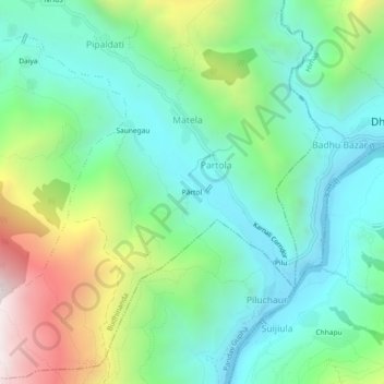
Name: Pārtol topographic map, elevation, terrain.
Location: Pārtol, Budhinanda-01, Partola, Budhinanda, Bajura, Nepal (29.46376 81.68195 29.50376 81.72195)
Average elevation: 1,466 m
Minimum elevation: 1,070 m
Maximum elevation: 2,409 m