
Olustee topographic map
Interactive map
Click on the map to display elevation.
About this map
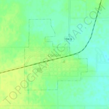
Name: Olustee topographic map, elevation, terrain.
Location: Olustee, Jackson County, Oklahoma, 73560, United States (34.54002 -99.43139 34.55759 -99.41242)
Average elevation: 405 m
Minimum elevation: 396 m
Maximum elevation: 412 m