
Crosby topographic map
Interactive map
Click on the map to display elevation.
About this map
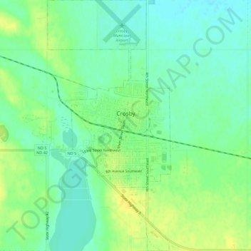
Name: Crosby topographic map, elevation, terrain.
Location: Crosby, Divide County, North Dakota, United States (48.89438 -103.31208 48.93050 -103.28508)
Average elevation: 598 m
Minimum elevation: 588 m
Maximum elevation: 609 m
Other topographic maps
Click on a map to view its topography, its elevation and its terrain.
Noonan
United States > North Dakota > Divide County
Noonan, Divide County, North Dakota, United States
Average elevation: 601 m