
Tayside topographic map
Interactive map
Click on the map to display elevation.
About this map
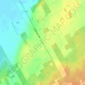
Name: Tayside topographic map, elevation, terrain.
Average elevation: 85 m
Minimum elevation: 67 m
Maximum elevation: 102 m
Other topographic maps
Click on a map to view its topography, its elevation and its terrain.
Moose Creek
Canada > Ontario > Stormont, Dundas and Glengarry Counties > North Stormont
Average elevation: 87 m
Finch
Canada > Ontario > Stormont, Dundas and Glengarry Counties > North Stormont
Average elevation: 83 m