
Shawinigan topographic map
Interactive map
Click on the map to display elevation.
About this map
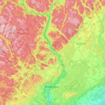
Name: Shawinigan topographic map, elevation, terrain.
Location: Shawinigan, Mauricie, Quebec, Canada (46.45907 -73.17888 46.91975 -72.58373)
Average elevation: 213 m
Minimum elevation: 19 m
Maximum elevation: 464 m