
Carlín topographic map
Interactive map
Click on the map to display elevation.
About this map
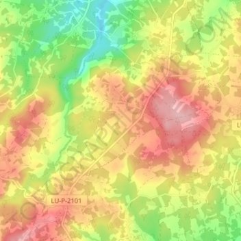
Name: Carlín topographic map, elevation, terrain.
Location: Carlín, Friol, Lugo, Galicien, Spanien (43.06513 -7.85264 43.09145 -7.78858)
Average elevation: 523 m
Minimum elevation: 443 m
Maximum elevation: 592 m