
Sauer topographic map
Interactive map
Click on the map to display elevation.
About this map
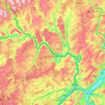
Name: Sauer topographic map, elevation, terrain.
Location: Sauer, Echternach, Canton Echternach, Luxemburg (49.71347 6.03823 49.93216 6.53118)
Average elevation: 306 m
Minimum elevation: 122 m
Maximum elevation: 520 m