
Kidetok Central topographic map
Interactive map
Click on the map to display elevation.
About this map
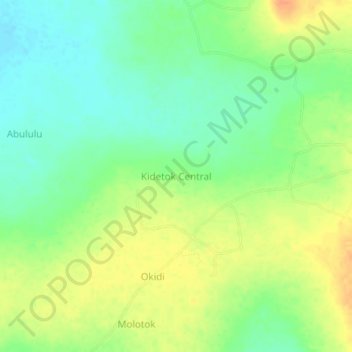
Name: Kidetok Central topographic map, elevation, terrain.
Location: Kidetok Central, Serere, Eastern Region, Uganda (1.48018 33.36786 1.52018 33.40786)
Average elevation: 1,062 m
Minimum elevation: 1,044 m
Maximum elevation: 1,082 m