
Irwell topographic map
Interactive map
Click on the map to display elevation.
About this map
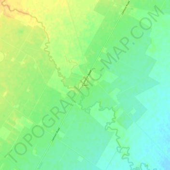
Name: Irwell topographic map, elevation, terrain.
Location: Irwell, Selwyn District, Canterbury, New Zealand (-43.74264 172.32804 -43.70264 172.36804)
Average elevation: 19 m
Minimum elevation: 6 m
Maximum elevation: 33 m