
Pensi topographic map
Interactive map
Click on the map to display elevation.
About this map
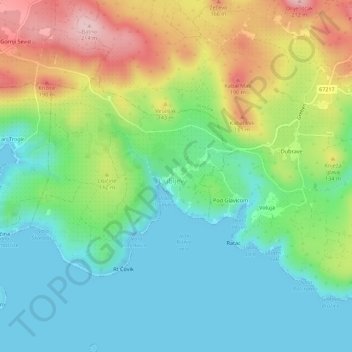
Name: Pensi topographic map, elevation, terrain.
Location: Pensi, Split-Dalmatia County, 40, Croatia (43.46654 16.04956 43.50654 16.08956)
Average elevation: 72 m
Minimum elevation: 0 m
Maximum elevation: 211 m