
Smoky Mountain topographic map
Interactive map
Click on the map to display elevation.
About this map
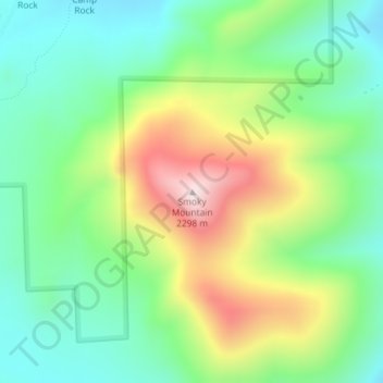
Name: Smoky Mountain topographic map, elevation, terrain.
Location: Smoky Mountain, Cassia County, Idaho, United States (42.05931 -113.68034 42.05941 -113.68024)
Average elevation: 1,976 m
Minimum elevation: 1,794 m
Maximum elevation: 2,305 m
Other topographic maps
Click on a map to view its topography, its elevation and its terrain.