
Karang Sentul topographic map
Interactive map
Click on the map to display elevation.
About this map
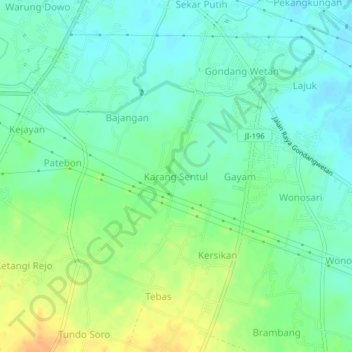
Name: Karang Sentul topographic map, elevation, terrain.
Location: Karang Sentul, Pasuruan, East Java, 67174, Indonesia (-7.72955 112.87218 -7.68955 112.91218)
Average elevation: 26 m
Minimum elevation: 13 m
Maximum elevation: 48 m
Other topographic maps
Click on a map to view its topography, its elevation and its terrain.