

Highgrove topographic map
Click on the map to display elevation.
Highgrove
The city of Riverside, California has plans to annex Highgrove in the near future. Currently at Spring Mountain Ranch community, Avalon, Cambria, and Sonoma (all opening by February 2022) are the three, newest largest master-planned communities being built at the Highgrove eastside area. Soon, Compass and Pinnacle at Summit Canyon by PulteGroup, at the south-east corner-end of Highgrove on the higher-elevation foothill, will open in 2023. These are the only known, brand-new homes currently available for sale, closer to Downtown Riverside and University of California, Riverside campus. In addition, 846 new urban-style townhomes by Lennar, plus its first new retail store in the area, will begin construction in 2023, next to the elementary school.
About this map
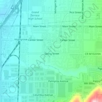
Name: Highgrove topographic map, elevation, terrain.
Average elevation: 316 m
Minimum elevation: 271 m
Maximum elevation: 508 m