
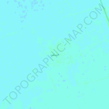
Al Masallamiyya topographic map
Interactive map
Click on the map to display elevation.
About this map
Name: Al Masallamiyya topographic map, elevation, terrain.
Location: Al Masallamiyya, Gezira State, Sudan (14.55480 33.31730 14.59480 33.35730)
Average elevation: 406 m
Minimum elevation: 405 m
Maximum elevation: 409 m