
Vargar topographic map
Interactive map
Click on the map to display elevation.
About this map
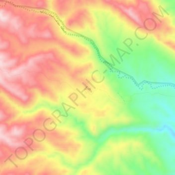
Name: Vargar topographic map, elevation, terrain.
Location: Vargar, بخش مرکزی, Abdanan County, Ilam Province, Iran (32.96990 47.31399 33.00990 47.35399)
Average elevation: 1,121 m
Minimum elevation: 924 m
Maximum elevation: 1,277 m