
Yeka topographic map
Interactive map
Click on the map to display elevation.
About this map
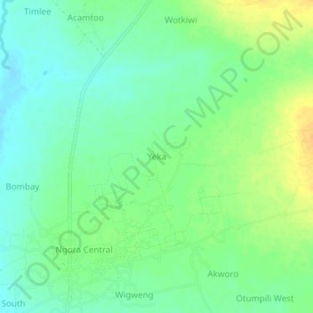
Name: Yeka topographic map, elevation, terrain.
Location: Yeka, Agago, Northern Region, Uganda (2.85005 33.33491 2.89005 33.37491)
Average elevation: 1,035 m
Minimum elevation: 1,023 m
Maximum elevation: 1,052 m