
Rohna topographic map
Interactive map
Click on the map to display elevation.
About this map
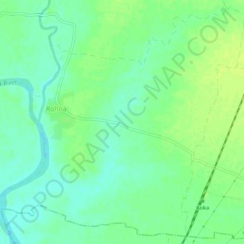
Name: Rohna topographic map, elevation, terrain.
Location: Rohna, Mohadi Taluka, Bhandara, Maharashtra, India (21.25374 79.67844 21.28883 79.71846)
Average elevation: 256 m
Minimum elevation: 248 m
Maximum elevation: 262 m