Geolocate

Lixian topographic map

Click on the map to display elevation.

About this map

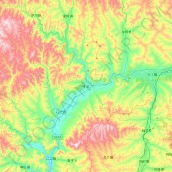
Name: Lixian topographic map, elevation, terrain.

Location: Lixian, Li County, Longnan, Gansu, China (34.03020 105.01752 34.35020 105.33752)

Average elevation: 1,737 m

Minimum elevation: 1,338 m

Maximum elevation: 2,342 m

Gear up for your next adventure:

🧊Personal Water Filters - Drink safely from mountain streams marked on your map
🧺Mesh Stuff Sacks - Breathable storage for wet gear or camp organization
🧺Microfibre Travel Towels - Fast-drying and compact towels for wild swimming and camping
📍Handheld GPS Navigators - Reliable satellite navigation for hiking and off-road exploration
🧗Locking Carabiners - Secure gear to your pack or for light technical use

As an Amazon Associate, this site earns from qualifying purchases at no extra cost to you.