
Liên Nghĩa topographic map
Interactive map
Click on the map to display elevation.
About this map
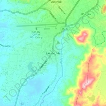
Name: Liên Nghĩa topographic map, elevation, terrain.
Location: Liên Nghĩa, Đức Trọng District, Lâm Đồng Province, Vietnam (11.69199 108.33425 11.77199 108.41425)
Average elevation: 952 m
Minimum elevation: 881 m
Maximum elevation: 1,179 m