
Beni Mester topographic map
Interactive map
Click on the map to display elevation.
About this map
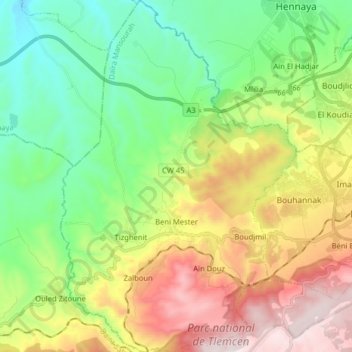
Name: Beni Mester topographic map, elevation, terrain.
Location: Beni Mester, Mansourah District, Tilimsen, 13061, Algeria (34.82189 -1.47393 34.95283 -1.36663)
Average elevation: 622 m
Minimum elevation: 237 m
Maximum elevation: 1,266 m