
Hmunnuam topographic map
Interactive map
Click on the map to display elevation.
About this map
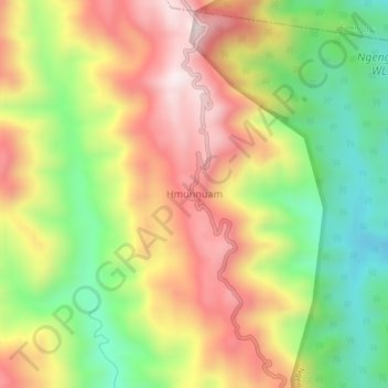
Name: Hmunnuam topographic map, elevation, terrain.
Location: Hmunnuam, S' Bungtlang, Lawngtlai, Mizoram, Indien (22.39781 92.72538 22.43781 92.76538)
Average elevation: 491 m
Minimum elevation: 168 m
Maximum elevation: 822 m