

El Hamma topographic map
Click on the map to display elevation.
El Hamma
Located along the Gabès-Kébili road, and at an altitude of about fifty meters, the town borders the Chott el-Fejej. It is one of the natural outlets of the great Albian Aquifer. The oasis has several sources which together form the El Hamma ouads which are 300 meters from each other. Among these are Aïn El Bordj, Aïn Chaaliya and Aïn Abdelkader.
About this map
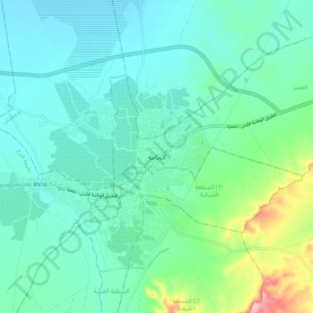
Name: El Hamma topographic map, elevation, terrain.
Location: El Hamma, القصر, معتمدية الحامة, Gabès, Tunisia (33.84944 9.75971 33.92944 9.83971)
Average elevation: 74 m
Minimum elevation: 39 m
Maximum elevation: 209 m