
Ranca topographic map
Interactive map
Click on the map to display elevation.
About this map
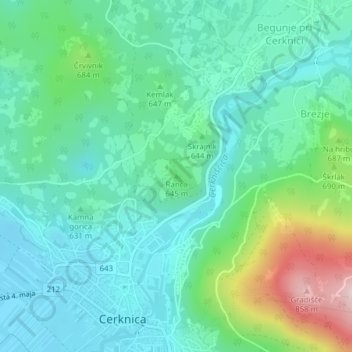
Name: Ranca topographic map, elevation, terrain.
Location: Ranca, Cerknica, 1380, Slovenia (45.80455 14.36778 45.80465 14.36788)
Average elevation: 627 m
Minimum elevation: 552 m
Maximum elevation: 859 m
Other topographic maps
Click on a map to view its topography, its elevation and its terrain.