
Tanjung Selor topographic map
Interactive map
Click on the map to display elevation.
About this map
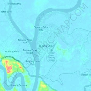
Name: Tanjung Selor topographic map, elevation, terrain.
Location: Tanjung Selor, Bulungan, North Kalimantan, 77212, Indonesia (2.80176 117.32873 2.88176 117.40873)
Average elevation: 7 m
Minimum elevation: -6 m
Maximum elevation: 143 m