
Benton topographic map
Interactive map
Click on the map to display elevation.
About this map
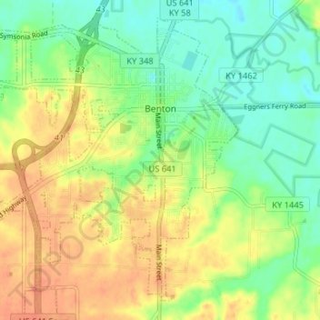
Name: Benton topographic map, elevation, terrain.
Location: Benton, Marshall County, Kentucky, United States (36.82285 -88.38933 36.87485 -88.33438)
Average elevation: 132 m
Minimum elevation: 104 m
Maximum elevation: 168 m